Our Technology
Request For A Demo
See how Farmanet technology can support your team with a guided product walkthrough.
Technology that turns field data into better farming decisions
From planning to sustainability tracking, we build organized systems that help farms grow with confidence.
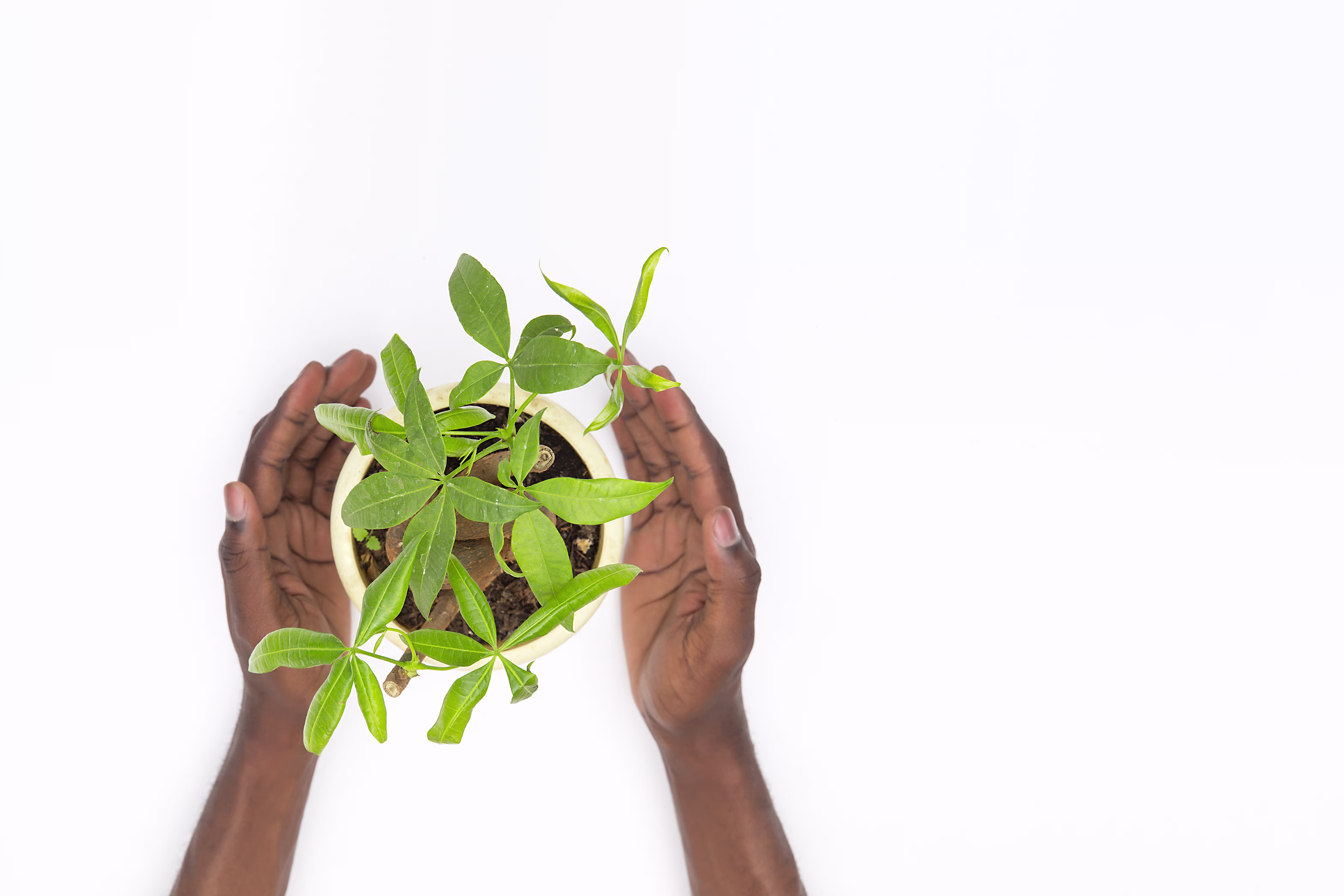
Data-led technology for smarter, more sustainable agriculture
We use AI-driven insights and yield forecasting to support stronger planning before, during, and after the season. By combining field intelligence with structured digital records, we help teams anticipate production, allocate resources more effectively, and make decisions with better visibility.
Our approach also brings spatial and sustainability data into one operational view. GIS mapping helps organize and track farm activity, farmer data systems keep value-chain information reliable, and afforestation tracking supports responsible land use with measurable long-term impact.
Technology that connects planning, field operations, and sustainability
Farmanet's technology stack helps teams move from scattered records to coordinated action, turning farm data into practical insights across production, monitoring, and environmental stewardship.
Insight tools for planning and yield forecasting
Mapped farm activity for structure and traceability
Reliable farmer records across the value chain
Afforestation tracking for sustainable land use
How The System Works
We connect intelligence, location data, farmer records, and sustainability tracking into one operational flow.
Capture
Collect farmer, land, and activity data in a structured digital format.
Map
Use GIS tools to organize farm locations and monitor activity spatially.
Forecast
Apply AI-supported analysis to estimate yields and guide planning decisions.
Track Impact
Monitor afforestation and land-use outcomes to support sustainability goals.
How does AI improve farm planning?
AI helps analyze available farm and operational data to reveal patterns, support yield expectations, and improve planning around inputs, harvest timing, and delivery readiness.
What role does GIS mapping play?
GIS mapping helps structure farm information geographically, making it easier to monitor land use, locate activities, plan interventions, and maintain traceable records.
Why is afforestation tracking included in the platform?
Afforestation tracking extends the system beyond production data, allowing Farmanet to support sustainable land use, monitor restoration efforts, and demonstrate long-term environmental impact.